Last week we had a chance to get in one more Smoky Mountains hike before the Labor Day Weekend crowds appeared. So Thursday we loaded up our packs and set out for Elkmont Campgrounds to hike the 5.5 mile “Cucumber Gap Loop Trail”.
First, a word about those packs. On our last hike Rita took her tried and trusted backpack she used for the Inca Trail, an Osprey Mila 34. The “34” stands for the volume the pack will hold, in this case 34 liters. Most Americans think of liters as a liquid measurement, but actually it is used to measure volume. A 34 liter pack has just over 1.2 cubic feet of available space. This is great for a day hike. It affords plenty of room and has nice features that served her very well in Perú and on other trips.
I was carrying my Camelback pack, which is only 20 liters (0.7 cubic feet) – basically enough room for a hydration pack, a small lunch, raincoat, and a few odds and ends. It has no frame, so it just hangs on your shoulders. It is fine for the short hikes we are enjoying, but that’s about it. As the name implies, it is primarily for carrying water.
For this hike we decided to break out some packs we purchased way back in February, when we all lived in a different world. At the time, we were planning on spending the spring doing some training hikes in the Smokies, leading up to possibly overnight hikes of two-three days or more. We were even thinking about doing at least a portion of the Appalachian Trail – maybe as much as half.
Backpacking at that level requires specialized gear. The obvious goal is to carry as many things you will need as possible while lugging the least amount of weight. The camp stoves are tiny little burners that screw right onto a short fuel can, tents are ultralight, food dehydrated, and so on. Naturally, the backpack needs to be big enough to carry all of your gear and several days’ worth of food. It needs to be strong, have a frame to rest some of the weight on your hips, be comfortable, and most importantly, again – it must be as light as possible.
After much research and several trips to our local REI, we found the packs we wanted. Rita picked up a GraniteGear Blaze 60 liter (2.1 cubic feet), and since I would most likely be carrying the tent and a little more of the paraphernalia I went with a larger Gregory Stout 75 liter bag (2.6 cubic feet).
 The Gregory Stout 75
My backpack empty weighs 3lbs 14oz. If we were to equip ourselves for a multi-night hike, we’ve made some calculations of just how much weight we would have to carry. Rita would carry the tent stakes and poles, water collection and purification gear, and extra fuel for cooking. I would have the tent, cookware, burner, and of course all of my rain gear and personal incidentals.
This means I would be looking at a 21 pound load before adding such trivialities as food and changes of clothing. Of course almost seven pounds of that weight is in the three liters of water in my hydration pack, which would gradually become less as we hike. Still, while I doubt I would ever reach the maximum-rated weight for this pack of 50 pounds, I’m sure it would be comfortably into the 30’s.
Of course, before we could get a chance to put any of these plans into action, COVID-19 came along and changed everything. These nice, new packs and some other gear we had acquired on sale have been sitting in a closet for six months.
We thought this loop hike would be a good opportunity to get them out, strap them on, and give them a little field test. It takes a while to break in a new pack; there’s a period of learning how to adjust it properly, learning what to store where, and as you walk with weight in the bag there will be some settling and stretching as you get used to each other.
So with our new packs loaded up for the hike (mine weighing in at 16 pounds), we set off on the drive to Elkmont Campgrounds just southwest of Gatlinburg. This is only 39 miles from us as the crow flies, but by road it is closer to 80 and takes about an hour and 45 minutes to reach.
Elkmont is an interesting area with its own unique history. Back in the beginning of the 20th century, the Little River Lumber Company sold land to a group of Knoxville individuals looking to create a private social club. They built cabins for the “Appalachian Club” and used it as a place to get away from the summer heat (it is generally 10-15 degrees cooler in the foothills) and to hunt the woods and trout fish in the streams.
In the 1920’s and 30’s, when Tennessee and North Carolina began acquiring land to create the Great Smoky Mountains Park, they mostly purchased farms and land from the mountain people outright under eminent domain, and forced them out immediately. The wealthier Club members however, negotiated lesser payments in exchange for lifetime leases for the owners of record.
Leases for all but two expired by 1992, with the last two going in 2001. Unfortunately for the Park, in 1994 Elkmont was listed on the National Registry of Historic Places, so impact studies must be completed before the remaining structures can be removed and the grounds restored to its natural state. Today Elkmont Campgrounds is the busiest in the park, with 200 sites for tents and RVs, and an additional 20 “walk-in” sites.
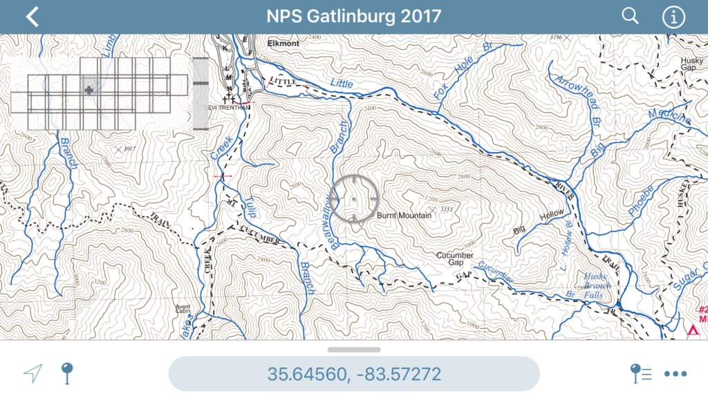 The dotted lines around Burnt Mountain: Little River to Cucumber Gap to Jake’s Trail
We parked in a lot near the trailhead for the start of our loop hike. As you can see on the map above, we would be taking the Little River Trail running more or less southeast past the Husky Branch Falls, where we pick up the Cucumber Gap Trail and turn back west, on the other side of Burnt Mountain. There is then a short hike north on the Jake’s Creek Trail, and we should come out near our parking lot, having completed a 5.5 mile loop.
It was just a few hundred feet from our car to the sign welcoming us to the first leg – and warning us that we would be hiking through black bear country.
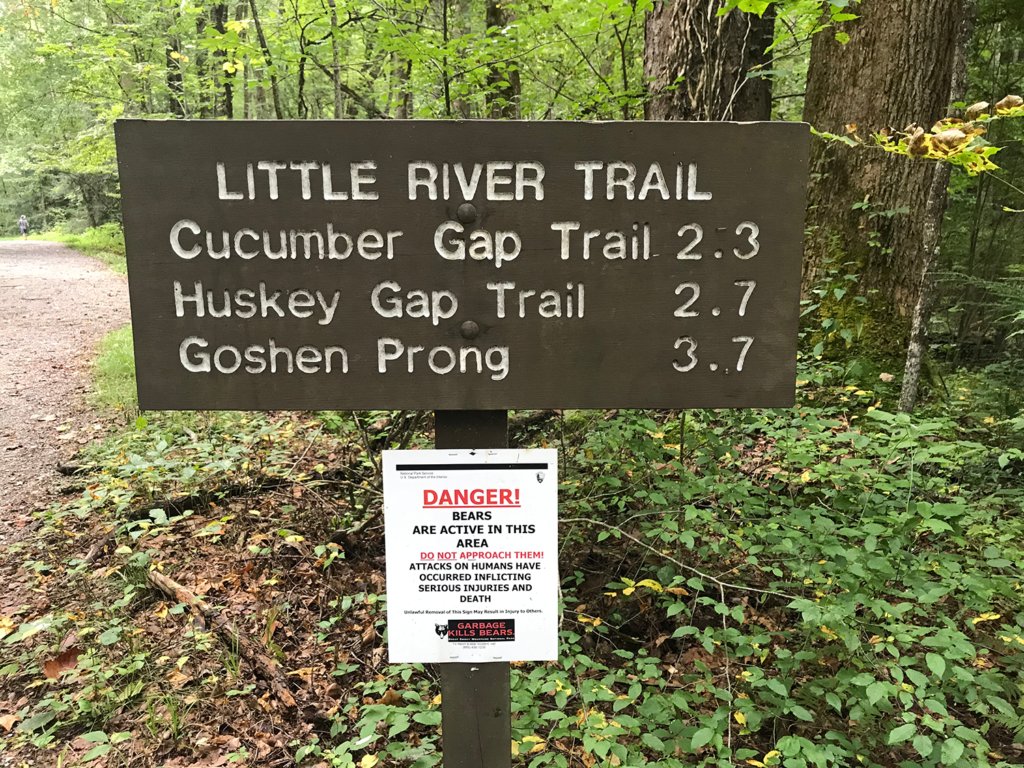 Bear warning, and trail sign. We will be taking the Cucumber Gap Trail in 2.3 miles. It is worth noting that the Goshen Prong Trail will take you to the Appalachian Trail – if you don’t mind hiking an additional 7.7 miles once you reach the Prong.
This loop is rated “Easy” in the Park’s guide books and it certainly starts out that way, with a wide, easy-to-walk road that follows the Little River. The road slopes upward, but very gradually. Early on the hike, there are ruins from some of the Appalachian Club cabins.
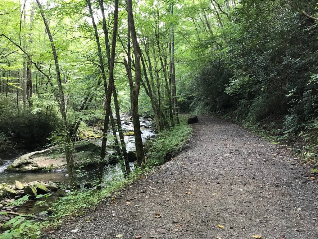 Easy going on the Little River Trail
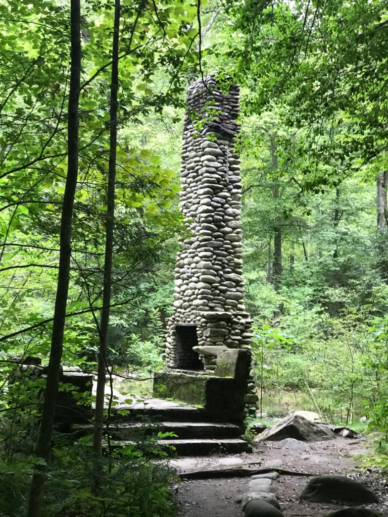 Front steps and chimney are all that remain of this cabin
The Little River in fact is almost a constant companion on this trail, and walking through the shade of the green canopy to the sounds of the water as it rushes by the rocks is wonderfully relaxing.
We timed our visit well. It was Thursday, the day before Labor Day Weekend crowds start arriving. We only passed a few people during the day, most of them in a large group towards the end of the hike. I’m sorry to report that other than ourselves, we only saw three or four people following the park's COVID-19 mask rules.
We will circle Burnt Mountain during this hike, but because the hills are so lush, we rarely get a glimpse of the mountain itself. There are places where granite pokes through on our right. I say granite, but it could be limestone, slate, or quartz for all I know. When it comes to geology, I don’t know schist.
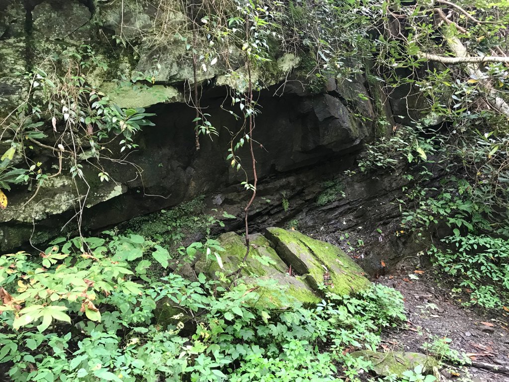 Burnt Mountain pokes through
Soon enough we came upon the Husky Branch Falls, which lets us know we are getting very close to our second leg. I assume the falls are what we see in the river to the left, although a small wooden platform lets us walk over a beautiful small fall coming down the mountainside on our right.
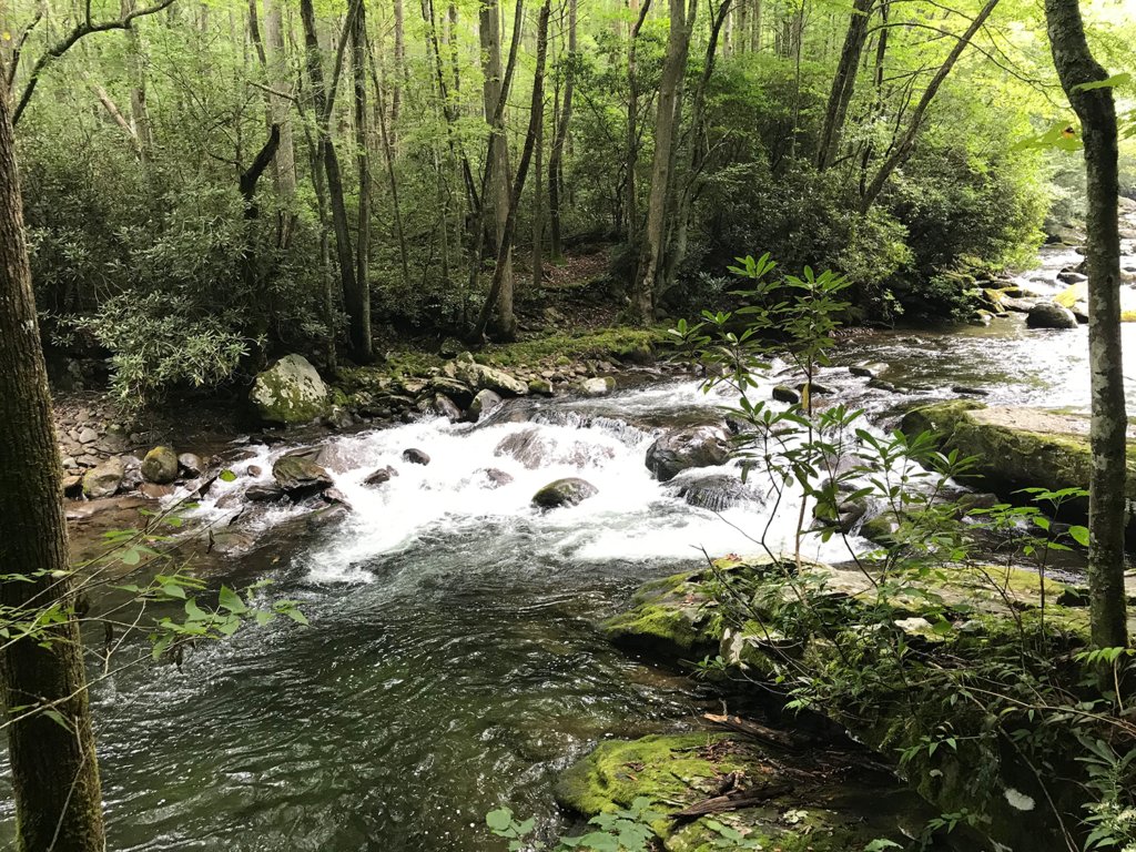 Husky Branch Falls?
 Or this one?
Less than a quarter mile past these falls, we came to the trail junction. A sign pointed the way to our second leg of the loop, the Cucumber Gap Trail. There were some benches near the turnoff, but as it was only around 11:30 and we weren’t even at the halfway mark yet, we decided to press on and stop at the next bench on the trail. This turned out to be a mistake, as these would be the last benches we would see all day.
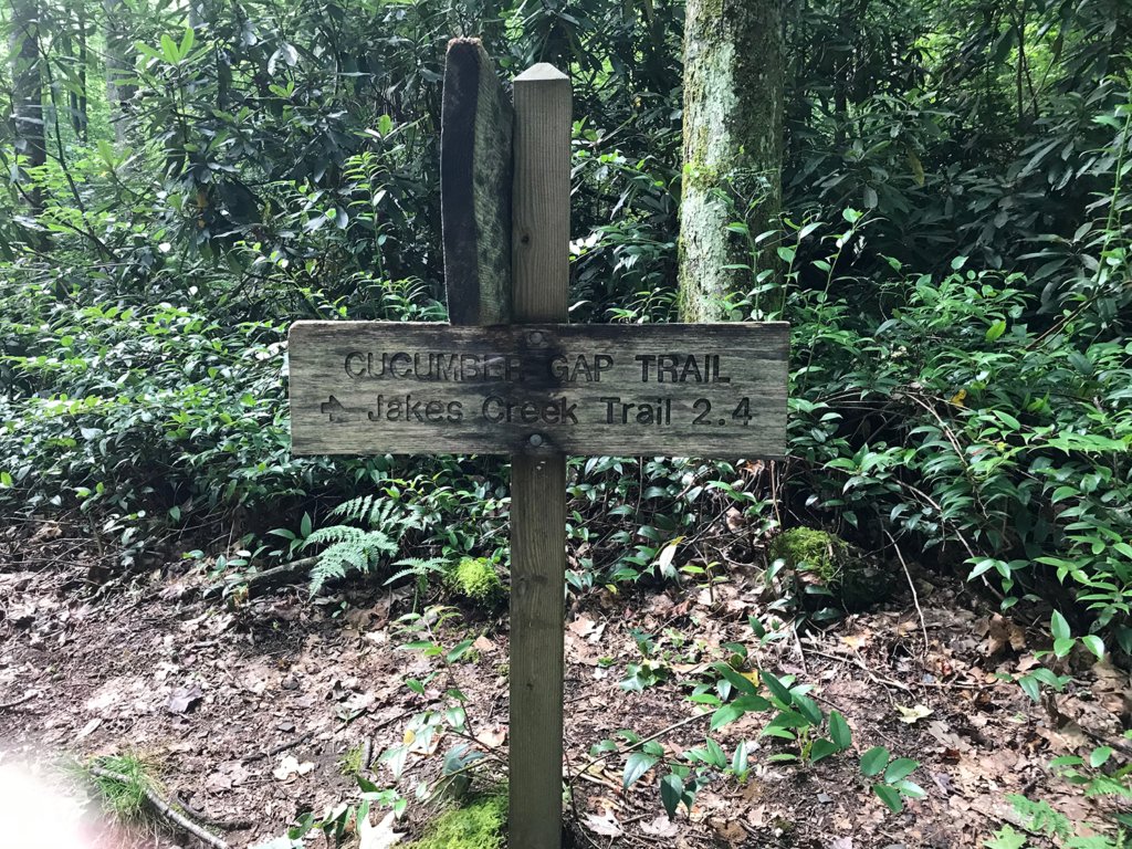 Our turn-off, 2.4 miles to the final leg
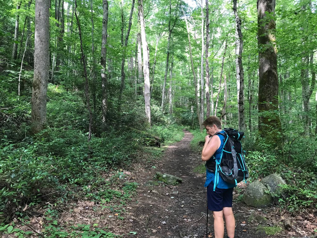 Water break before starting up the Cucumber Gap Trail
This section of the trail proved to be a little more difficult. In fact, I would rate it “Moderate” rather than “Easy”. Mostly because of the terrain but also because more than half of the trail was uphill, steep at times. In fact, after the constant slow rise of Little River and the more aggressive rise of Cucumber Gap, I began to wonder if we had stumbled on the M.C. Escher Trail, and would find it uphill all the way around.
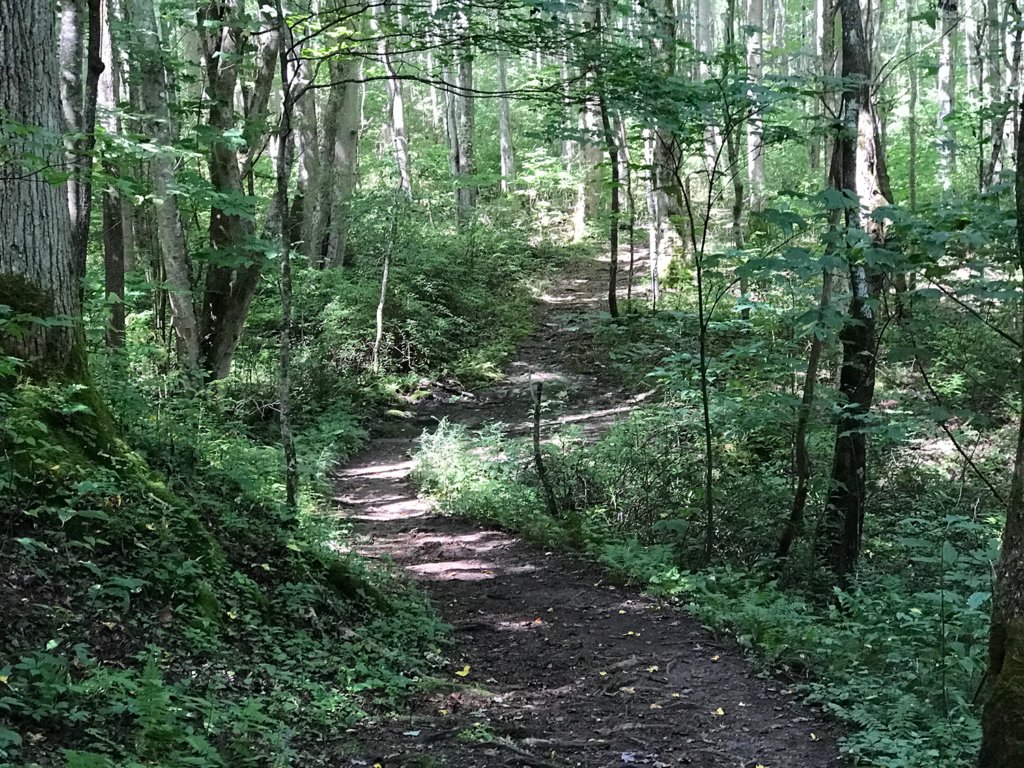 Up into the woods
Of course we expected this trail to have an inverted “v” to it in general because of the name. A “gap” is the easiest path between two peaks, and unless it is along a river bank it usually means there is some climbing to be done. According to my altimeter, we hiked from around 2200 feet to a high point of almost 2900 feet before starting back down.
If you have not done much hiking in the forests, it may not seem like a big deal to walk five or six miles. And even for hikers, this is not a formidable distance – in fact, if this were an overnight trip we would expect to do at least that distance before lunch, and the same before setting up camp.
However, hiking on a trail is much different from walking on a sidewalk or through a mall. Apart from the weather, carrying a pack, and the hills and streams to negotiate, it also uses some completely different muscle groups in your legs and ankles. If you are using hiking poles, even your arms and shoulders get a workout.
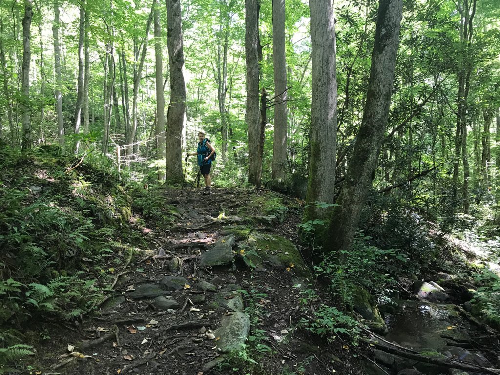 Rocks and tree roots on the uneven uphill path
When the terrain is as uneven as in the picture above, you rarely get a chance to take a normal stride. Every step seems to be a different length, and you use muscles in your thighs and calves to maintain your balance as you step on or over rocks and tree roots. Going up you are leaning slightly forward, and slightly back when going down. After just a few miles, you really begin to feel it.
In general, it was a great trail though. We really enjoyed the solitude and peace of this less-traveled path through the woods, and there were a few water crossings to make things more interesting.
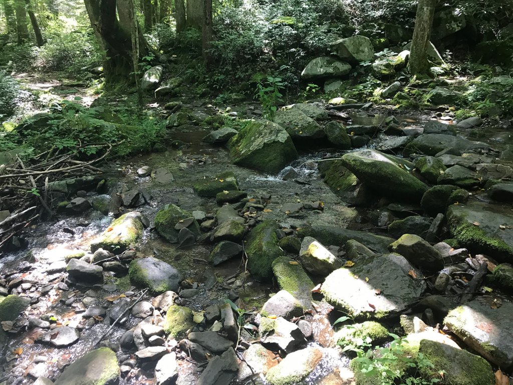 One of three stream crossings. Could be quite a challenge after a heavy rain.
By 12:30 when we were still going up and there were no benches or resting areas in sight, we picked two downed trees as our mossy seats for lunch. It was wonderfully quiet on this part of the trail. We were on the other side of Burnt Mountain from Little River, so no water sounds intruded. All we could hear were insects and birds.
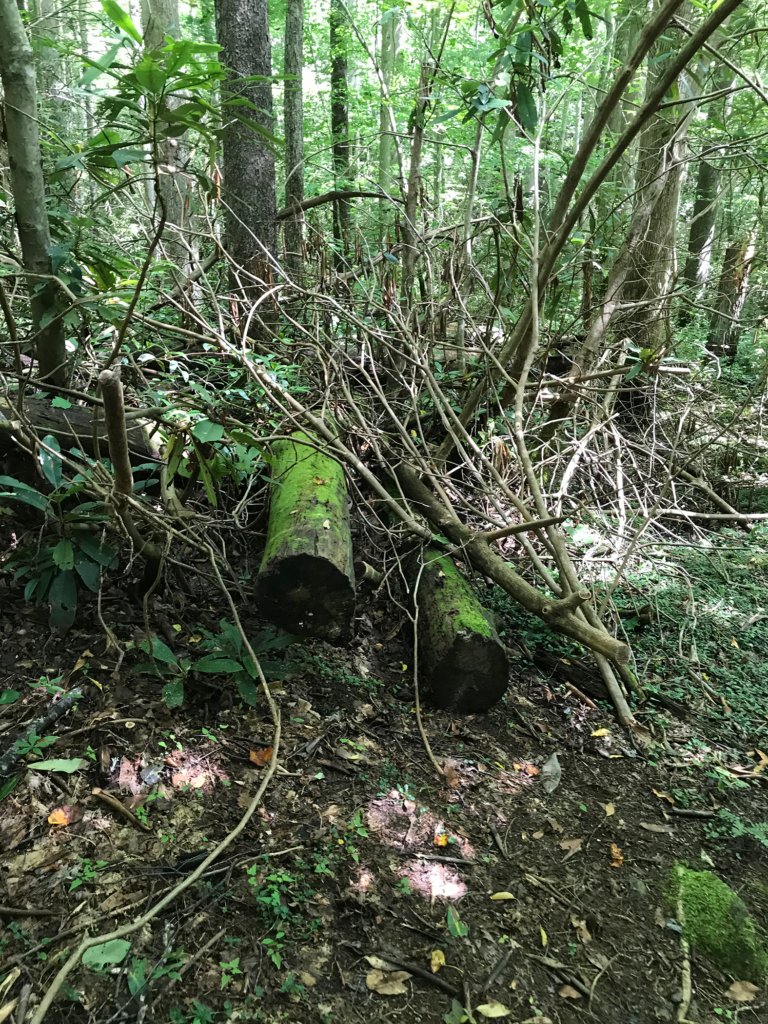 Lunch spot
It was nice to have our packs off for a few minutes, and we enjoyed our packed sandwiches and half-slices of blueberry cake (I've taken up baking during COVID. Damn you, Mary Berry!). While we were relaxing, we saw our first hikers since we started up the Gap. Two young girls passed us heading towards Jake’s Creek, and one young boy going the opposite direction.
Much refreshed, we made some slight pack adjustments and continued on our way. We soon hit the highest part of the trail, and we were rewarded with some cool breezes flowing through the gap. The weather in general by the way was perfect for hiking. It was 71 degrees when we left the car, and only 80 when we returned.
We kept a sharp eye out for black bears on the way down the hill, as it seemed likely territory for them. Rita mistook a tree stump for one once, and a couple of hikers another time, but we did not spot any actual bears. We did hear on one part of the trail what sounded like branches cracking once in a while, and we slowed down to watch for movement in the woods around us. The trail was very narrow here, with not a lot of room to stay out of the way of any wildlife. It didn’t help our paranoia that you could see bear claw marks on some of the trees.
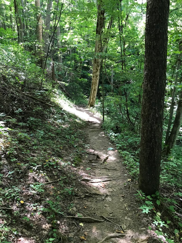 Nowhere to run to baby, nowhere to hide
The noise got closer, and soon we met the source; a hiker coming up behind us. She was periodically clicking her poles together to make a noise to warn any bears in the vicinity and give them time to get off the trail. She told us she had seen a juvenile bear back at the beginning of the Gap trail, and it had freaked her out a bit.
The rest of the trail continued downhill at a comfortable angle, and our last mile was only marred by a group of about nine adults and early teens who would pass us, fart around somewhere until we passed them, and then pass us again. They were all talking and making quite a bit of noise, and of course not a mask among them.
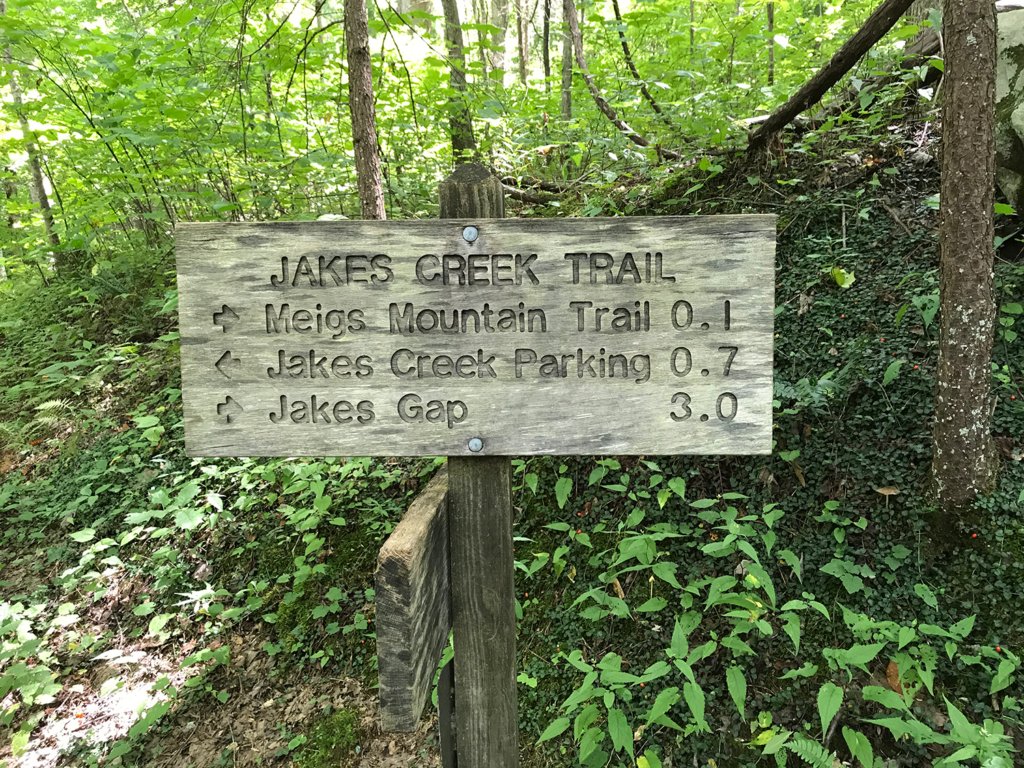 Last trail to complete the loop
One last small stream crossing, and we could see the path through the woods for our final trail of the day. We came to the sign pointing the way to Jake’s Creek Parking, less than a mile down a gravel road – so once again, the trail became easy.
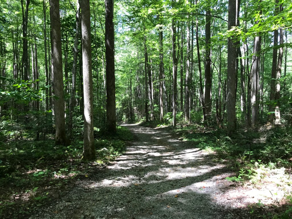 Easy walk in the woods
On this trail there are several more stone chimneys and foundation remains of Appalachian Club cabins, and a few wooden structures still standing. No trespassing is allowed inside the buildings, but the open stone structures are interesting to explore.
The last half mile was where we saw the most people, as we were nearing the Elkmont Campgrounds themselves. After passing our Gang of Nine a few more times, we could see the end of the trail and the last standing cabins ahead.
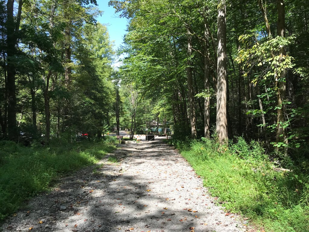 End of the trail
From there it was just a short walk down a paved road to the parking lot and our car. This time I was clever enough to have brought along a towel, a pair of sandals, and a fresh shirt. It felt great to throw the packs in back, take off my boots and sopping wet shirt, and dry off a bit.
Bottom line, this loop trail is an excellent hike that anyone in reasonable health should be able to enjoy. If you are not wild about the more rustic and challenging Cucumber Gap section, just walking down Little River to the trail crossing and then returning would give you about five miles on an easy path – almost a road – along the river.
As a test of our new packs, it was very successful. We both found them comfortable, and we were able to fine-tune some of the adjustments as we broke them in. When we got home, I discovered that I drank 2.5 of the 3 liters in my hydration pack, so I’m glad I went with the larger size.
We will probably skip hiking this week, to allow the Labor Day crowd that took the week off to disperse before we take on another trail. We also picked up a tent from an REI holiday sale (4-person cabin tent for car-camping, not the lighter type for backpacking), so next time we may try a campground somewhere for a night or two, and explore several trails.
Either way, we are glad that we are finally getting a chance to explore some of the Great Smoky Mountains National Park.
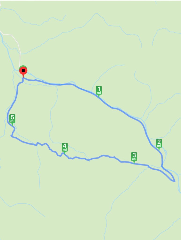 Total loop hike: 5.69 miles, 808 feet ascent, 754 descent, 3 hours 47 minutes (including lunch break)

